The services offered to the farmers
- Field Digitalization: Georeferenced data of the relevant field elements in the geo- database.
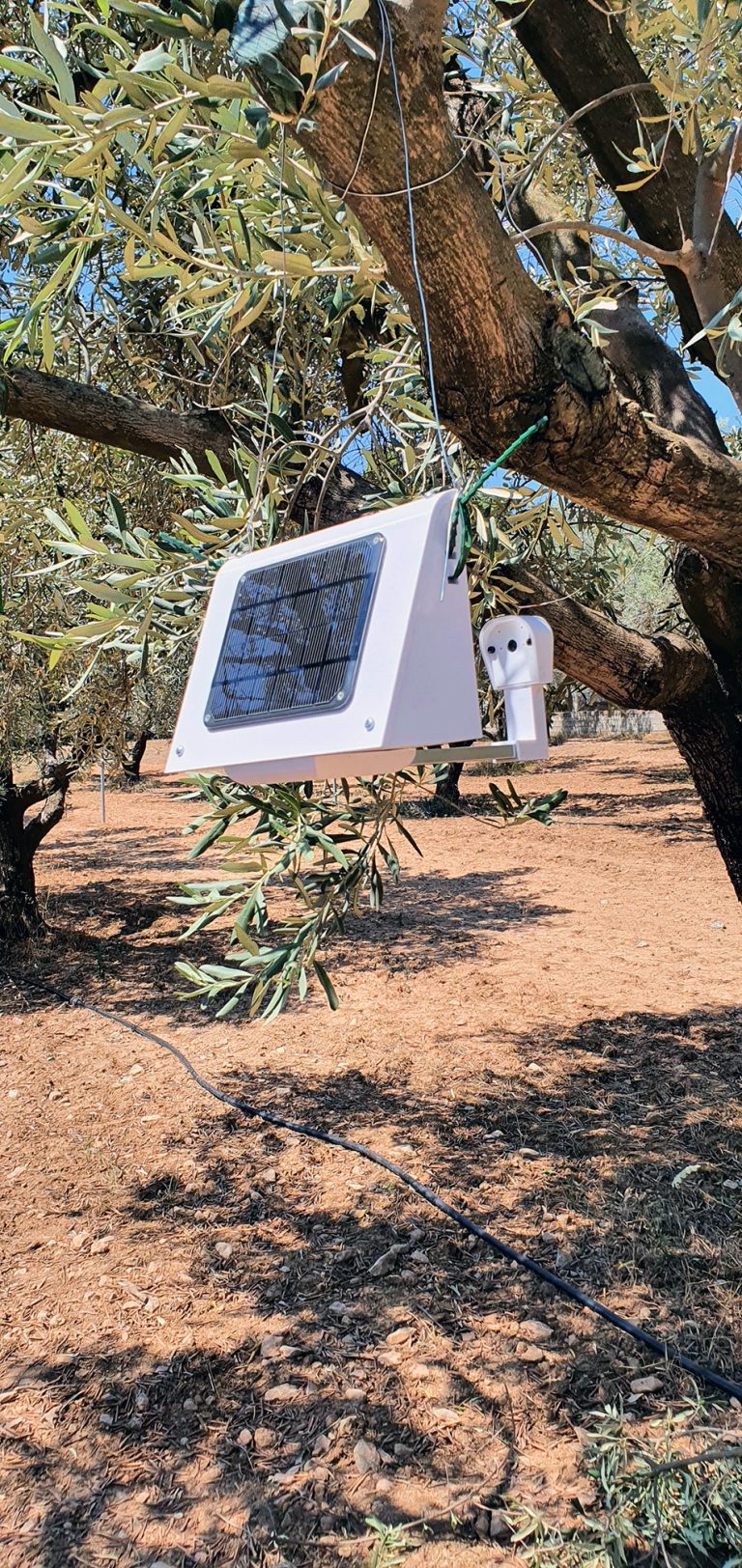
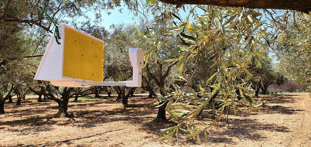
- E-monitoring of the key-pests: e-traps establishment, collect, and upload in the cloud images of insects caught in sticky panels using communication configurations (Wi-Fi/4G/3G), depending on the landscape.
- Pest identification and counting:
a. Semi-automatic system: Panel images of each e-trap are accessible online by an expert for visual inspection. Information on pest identification, sex, and counting are collected to feed the LAS geodatabase.
b. Automated system for the Medfly. - The Pest Infestation Risk: Series of decision support modules provides decision-making spraying information on when, where and how to spray.
- Spatial interpolation: Software tools create scale-spraying pest risk maps.
- Microclimatic Monitoring: A sensors’ network collect microclimatic data (temp/humidity) and wind direction during spraying applications.
- E-guidance: An innovative real-time e-guidance spraying applications system to assist the sprayers to precisely apply spraying considering the climatic conditions, too.
- Tracing spraying applications: Recording system to trace the spraying path, spraying action and other spraying data.